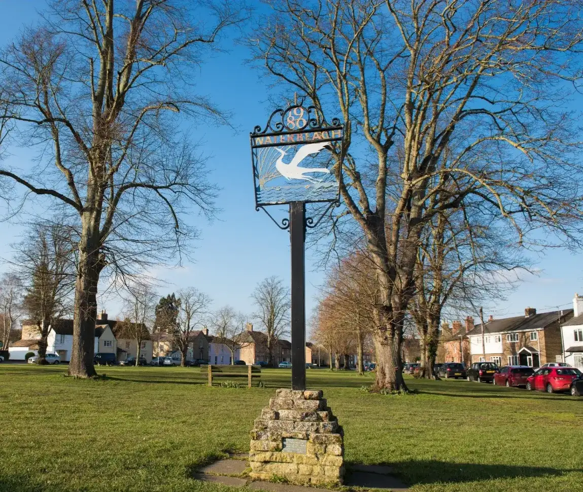
Before work starts on the first phase of development at Waterbeach Barracks, extensive archaeological investigations have been carried out to capture the history of previous residents and allow their story to inform the future designs and features of the new development.
The Waterbeach development is located at the junction of two important Roman regional transport links: the Car Dyke (Old Tillage) Roman canal which is one of the greatest engineering feats carried out by Romans in Britain – and the Roman road known as Akeman Street, which connects Ermine Street near Wimpole Hall and runs along the alignment of Mere Way joining the broad route of the A10 up to the North Norfolk coast. These connections made the area an appealing location for living and trading, and Oxford Archaeology East is working with the developers Urban&Civic to piece together the jigsaw of Waterbeach Barracks’ past.
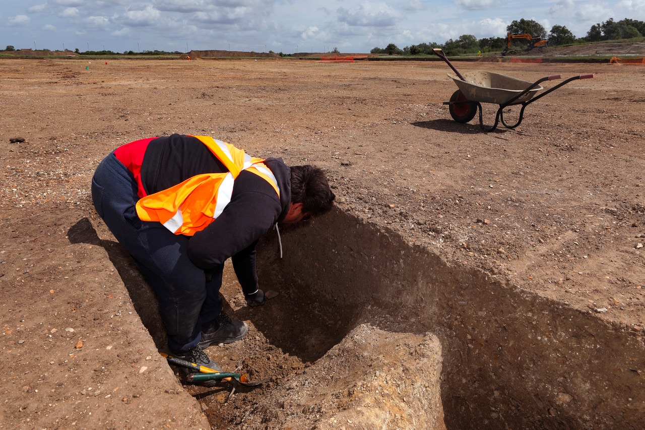
Based in Bar Hill, Cambridge, Oxford Archaeology East has been working with Urban&Civic and Cambridgeshire County Council’s Historic Environment Team to investigate the site since 2016 following a long history of research and analysis in the wider area. Their input to the design and planning team has been a key part in ensuring the new development respects, works with and captures the many layers of history of this site.
You can hear from Stephen Macaulay about the latest discoveries
The Waterbeach development is located at the junction of two important Roman regional transport links: the Car Dyke (Old Tillage) Roman canal which is one of the greatest engineering feats carried out by Romans in Britain.